It is possible to use this trail all the way from Rocherlea into the city of Launceston. However you will need to use the roads to get around the racecourse at the moment due to a missing bridge behind the racecourse.
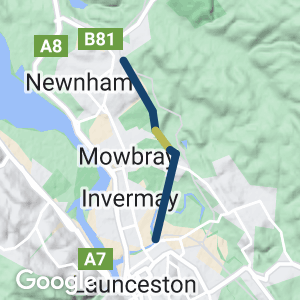
The Rocherlea Rail Trail is a sealed trail that follows the old railway between Mowbray and Rocherlea. The trail links to an existing walking and cycling path starting at Vermont Rd and follows the Tamar River to Inveresk, in the port area near the centre of Launceston. It will form a good commuter link for people from the suburbs of Rocherlea and Mowbray.
- The trail features some nice cuttings and embankments at the Rocherlea end
- The Rocherlea end of the trail is sealed with a good surface
- Good views of the disused rail line adjacent to the trail
- Good views of the city of Launceston
- Ride the tourist tram at the Inveresk Cultural Precinct
- Visit Australia’s largest regional museum, the Queen Victoria Museum and Art Gallery
Nearby Attractions
- Launceston Tramway Museum
- The Queen Victoria Museum
- Launceston art Gallery
Last updated: 5 December 2022
The trail starts near the end of Hume St, off George Town Rd in Rocherlea. From here you can walk or cycle about 4 Km toward Launceston on a sealed trail. The old disused freight railway to Tonganah is on the left and urban housing and sports fields are on the right. The trail ends at a dam behind the racecourse, but it is easier to get off the trail at the end of Dover St in Mowbray.
Another sealed section of trail has been built between Vermont Rd and Remount Rd. The trail finishes at this point as a local trucking company has fenced and taken over the railway corridor behind the racecourse. To get around the racecourse, use the local streets to get to Vemount and Remount Rds. On the other side of the racecourse the old railway formation continues on to host a gravel trail along the top of the flood levee another 2 km to Inveresk. If the track along the flood levee and boardwalk along the river at Inveresk is closed, a nice alternative is to ride alongside the old tram line through the centre of Inveresk. However, be aware of the rails and the tourist tram. Near the end of the tram line you can visit the Launceston Tramway Museum, the Queen Victoria Museum and Art Gallery or connect with further trails.
Access Points
- Rocherlea at Hume St, off George Town Road
- Mowbray at Dover St adjacent to a small park called the Dover Village Recreation ground
- Inveresk Cultural precinct
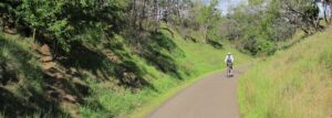
A nice cutting along the trail (Nov 2012))
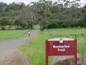
Start of trail at Southern end (Nov 2012)
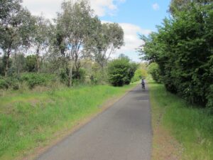
Riding along the trail (Nov 2012)
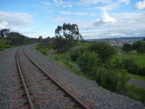
The disused railway to Tonganah, the Rocherlea Rail Trail and views toward Launceston
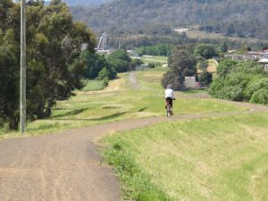
On the levee bank link section (Nov 2012)
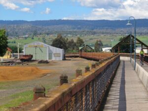
The boardwalk section at the Launceston end of the trail (Nov 2012)
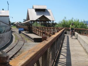
Boardwalk and old rail line at Launceston (Nov 2012)
Do you know of a bike hire or transportation service on this rail trail that should appear here? If so, let us know at admin@railtrails.org.au.
Information and Links
This rail trail is managed by the Launceston City Council
To see more trails around Launceston click HERE
Queen Victoria Museum and Art Gallery
To contact us about this trail, Email or click here: tas@railtrails.org.au
Contact Rail Trails Australia
To contact us about this rail trail, email tas@railtrails.org.au
Background Information
Traditional Owners
We acknowledge the Tommeginne and Pyemmairrener people, the traditional custodians of the land and waterways on which the rail trail is built.
Development and future of the trail
Rail line history
From 1882, the Tasmanian government constructed numerous branch lines including the Launceston-Scottsdale line as well as extending the Western Line along the North-West Coast. The Launceston-Scottsdale line was opened in February 1889 and passed through twelve stations including Rocherlea along the way. The railway was extended to Branxholm in 1911, and later, Herrick.
By 1978, the last passenger trains closed down in Tasmania and the rail network, including the Launceston-Scottsdale line, focused on carrying freight. By the early 1980s there were just three daily services between Scottsdale and Launceston transporting logs, wood chips and other goods; however, by 2005, the line was closed. Enthusiasts still hope that a passenger service might be revived as a result of the increased popularity of heritage railways.
Nearby Trails
North East Tasmania Rail Trail
Scottsdale, 62 km north east of Launceston.
26 km


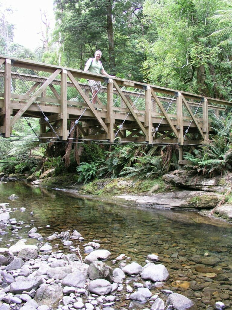
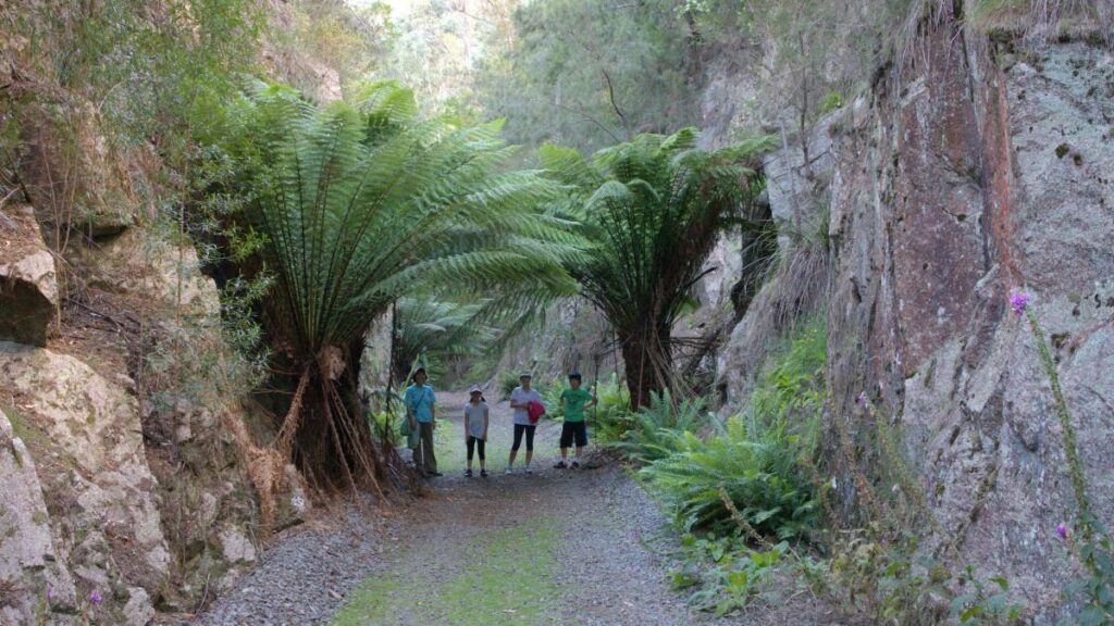
Liffey Falls Rail Trail
Western Tiers, 25km south of Deloraine, 212km from Hobart
5 km
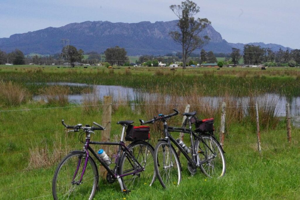
Railton to Sheffield Rail Trail
Northern Tasmania near the Great Western Tiers and Mount Roland, 259km from Hobart
12 km
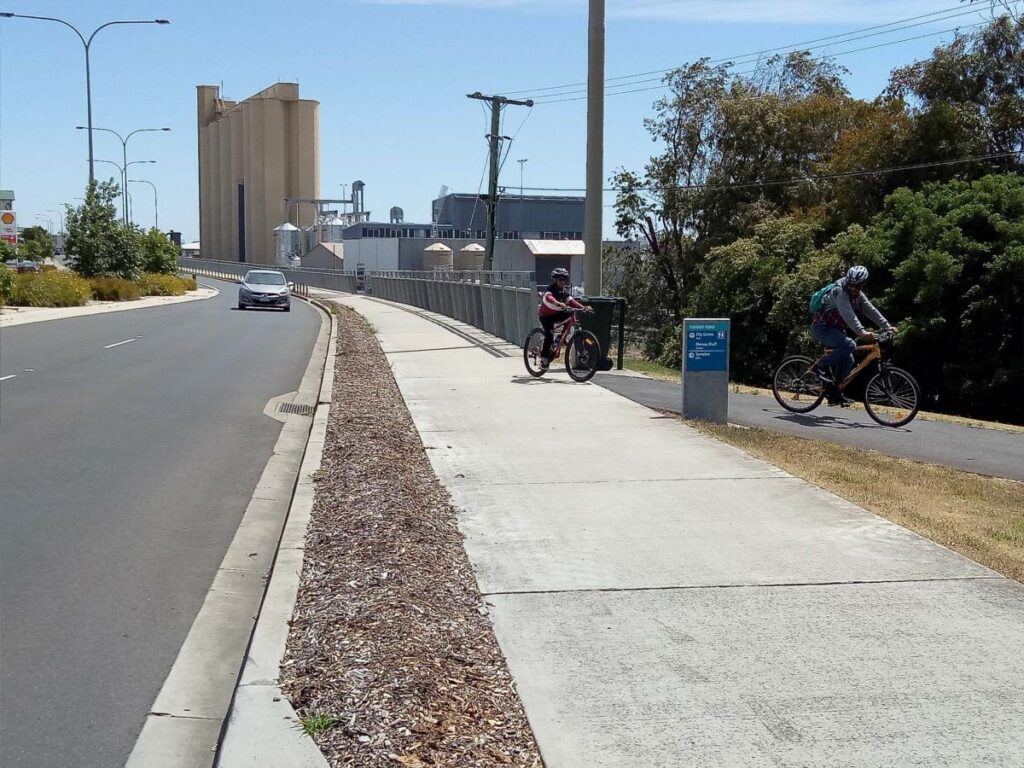
Don to Devonport Cycleway
Devonport area. 100 m west of Launceston.
11 km


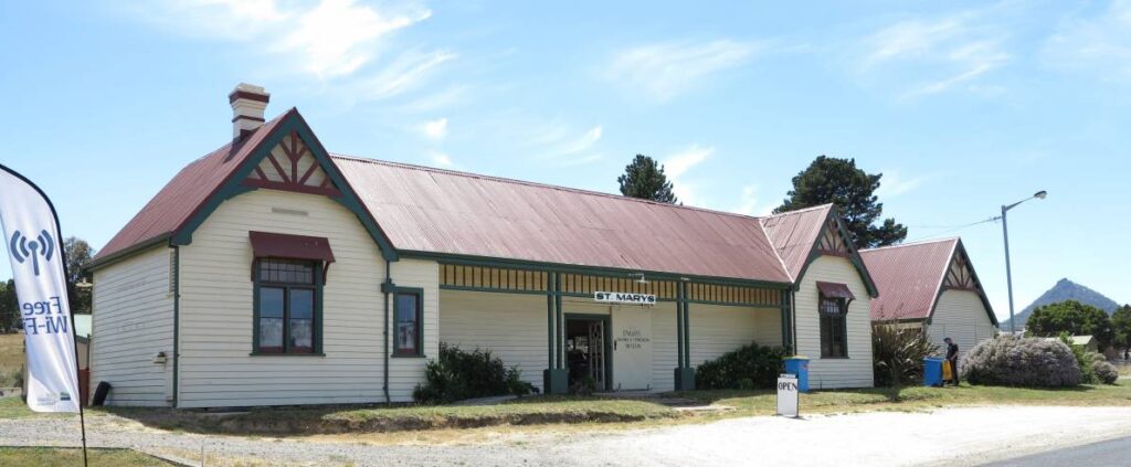
Fingal Valley Rail Trail
Fingal to St Marys, 167 Km north of Hobart.

Nearby Trails
North East Tasmania Rail Trail
Scottsdale, 62 km north east of Launceston.
26 km
Liffey Falls Rail Trail
Western Tiers, 25km south of Deloraine, 212km from Hobart
5 km
Railton to Sheffield Rail Trail
Northern Tasmania near the Great Western Tiers and Mount Roland, 259km from Hobart
12 km
Don to Devonport Cycleway
Devonport area. 100 m west of Launceston.
11 km
Fingal Valley Rail Trail
Fingal to St Marys, 167 Km north of Hobart.